
Octavia topographic map
Interactive map
Click on the map to display elevation.
About this map
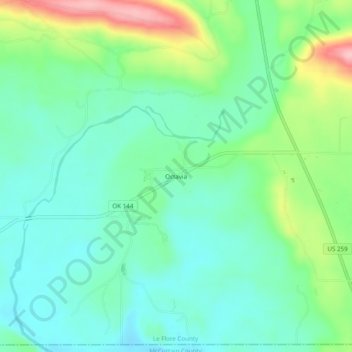
Name: Octavia topographic map, elevation, terrain.
Location: Octavia, Le Flore County, Oklahoma, 74957, United States (34.50647 -94.72207 34.54647 -94.68207)
Average elevation: 285 m
Minimum elevation: 239 m
Maximum elevation: 401 m