
Thank you for supporting this site ❤️
Make a donation
Make a donation
Goufes topographic map
Click on the map to display elevation.
Thank you for supporting this site ❤️
Make a donation
Make a donation
About this map
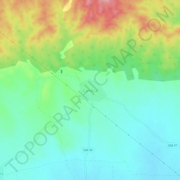
Name: Goufes topographic map, elevation, terrain.
Location: Goufes, Gazimağusa District, Cyprus (35.26264 33.66791 35.30264 33.70791)
Average elevation: 107 m
Minimum elevation: 62 m
Maximum elevation: 202 m
Thank you for supporting this site ❤️
Make a donation
Make a donation