
Rudderville topographic map
Interactive map
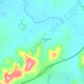
Click on the map to display elevation.
About this map
Name: Rudderville topographic map, elevation, terrain.
Location: Rudderville, Williamson County, Tennessee, United States (35.82062 -86.76111 35.86062 -86.72111)
Average elevation: 229 m
Minimum elevation: 198 m
Maximum elevation: 352 m