
Daïra Ain Temouchent topographic map
Interactive map
Click on the map to display elevation.
About this map
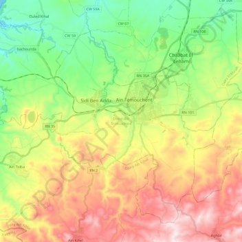
Name: Daïra Ain Temouchent topographic map, elevation, terrain.
Location: Daïra Ain Temouchent, Aïn Témouchent, Algérie (35.21022 -1.29661 35.36666 -1.07013)
Average elevation: 273 m
Minimum elevation: 0 m
Maximum elevation: 645 m
Other topographic maps
Click on a map to view its topography, its elevation and its terrain.
Aïn Témouchent
Algérie > Aïn Témouchent > Daïra Ain Temouchent
Aïn Témouchent, Daïra Ain Temouchent, Aïn Témouchent, 46000, Algérie
Average elevation: 331 m