
Make a donation
Indian Springs topographic map
Click on the map to display elevation.
Make a donation
Indian Springs
One year later, Indian Springs was reactivated as Indian Springs Air Force Base by the new United States Air Force, with a new role as a new weapons systems and aircraft research and testing. Among these missions were support for nuclear arms testing at the Nevada Proving Grounds, high-altitude balloon search and retrieval, new gunnery and rocketry systems, and testing of experimental aircraft. For a period of the 1950s and 1960s Indian Springs AFB housed some of the most advanced aircraft and air weapons systems in the world.
Make a donation
About this map
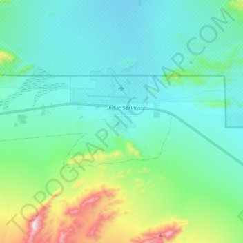
Name: Indian Springs topographic map, elevation, terrain.
Location: Indian Springs, Clark County, Nevada, United States (36.54362 -115.80646 36.59616 -115.63600)
Average elevation: 1,078 m
Minimum elevation: 930 m
Maximum elevation: 1,592 m
Make a donation