
Ghassoul topographic map
Interactive map
Click on the map to display elevation.
About this map
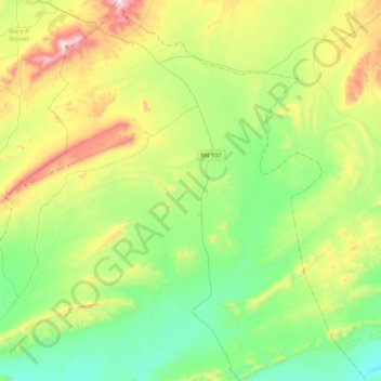
Name: Ghassoul topographic map, elevation, terrain.
Location: Ghassoul, daïra Brezina, El Bayadh, Algérie (33.31477 1.04483 33.66954 1.36098)
Average elevation: 1,312 m
Minimum elevation: 1,049 m
Maximum elevation: 1,894 m