
Thank you for supporting this site ❤️
Make a donation
Make a donation
Gando topographic map
Click on the map to display elevation.
Thank you for supporting this site ❤️
Make a donation
Make a donation
About this map
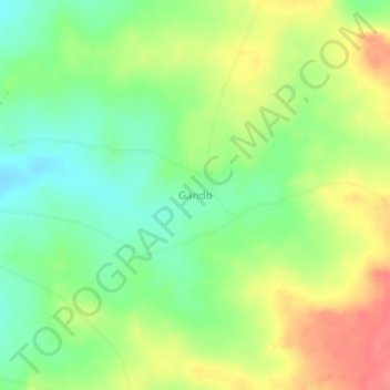
Name: Gando topographic map, elevation, terrain.
Location: Gando, Tarka, Benue State, Nigeria (7.59220 8.82690 7.63220 8.86690)
Average elevation: 165 m
Minimum elevation: 133 m
Maximum elevation: 206 m
Thank you for supporting this site ❤️
Make a donation
Make a donation