
Thank you for supporting this site ❤️
Make a donation
Make a donation
Ragged Island topographic map
Click on the map to display elevation.
Thank you for supporting this site ❤️
Make a donation
Make a donation
About this map
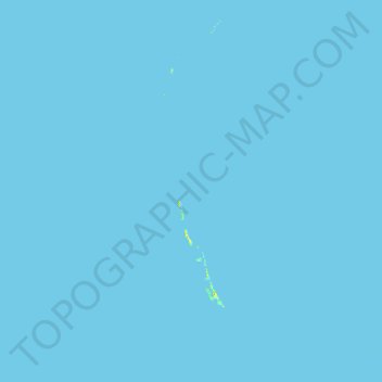
Name: Ragged Island topographic map, elevation, terrain.
Location: Ragged Island, The Bahamas (21.91873 -76.11326 23.09800 -75.37491)
Average elevation: 0 m
Minimum elevation: 0 m
Maximum elevation: 32 m
Thank you for supporting this site ❤️
Make a donation
Make a donation
Other topographic maps
Click on a map to view its topography, its elevation and its terrain.