
Tundayme topographic map
Interactive map
Click on the map to display elevation.
About this map
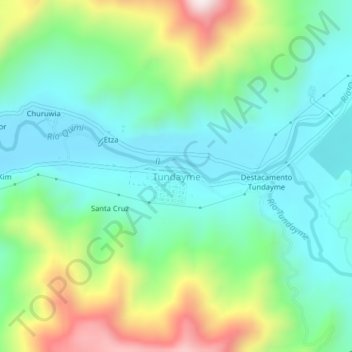
Name: Tundayme topographic map, elevation, terrain.
Location: Tundayme, Cantón El Pangui, Zamora Chinchipe, Ecuador (-3.59631 -78.51034 -3.55631 -78.47034)
Average elevation: 939 m
Minimum elevation: 748 m
Maximum elevation: 1,394 m