
Thank you for supporting this site ❤️
Make a donation
Make a donation
Eilsleben topographic map
Click on the map to display elevation.
Thank you for supporting this site ❤️
Make a donation
Make a donation
About this map
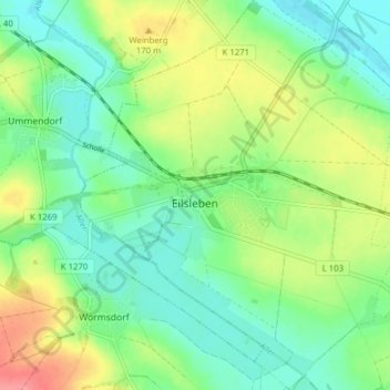
Name: Eilsleben topographic map, elevation, terrain.
Location: Eilsleben, Obere Aller, Börde, Sachsen-Anhalt, Deutschland (52.12419 11.18912 52.17193 11.25378)
Average elevation: 146 m
Minimum elevation: 119 m
Maximum elevation: 195 m
Thank you for supporting this site ❤️
Make a donation
Make a donation