
Sungai Merdeka topographic map
Interactive map
Click on the map to display elevation.
About this map
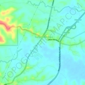
Name: Sungai Merdeka topographic map, elevation, terrain.
Location: Sungai Merdeka, East Kalimantan, Indonesia (-1.02046 116.95642 -0.98046 116.99642)
Average elevation: 19 m
Minimum elevation: 5 m
Maximum elevation: 76 m