
Naima topographic map
Interactive map
Click on the map to display elevation.
About this map
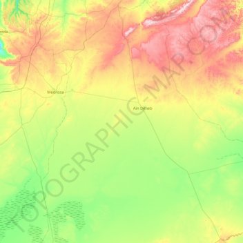
Name: Naima topographic map, elevation, terrain.
Location: Naima, daïra Aïn Deheb, Tiaret, Algérie (34.45803 1.33949 35.15528 2.11014)
Average elevation: 1,104 m
Minimum elevation: 899 m
Maximum elevation: 1,475 m