
Rambutan topographic map
Interactive map
Click on the map to display elevation.
About this map
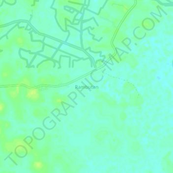
Name: Rambutan topographic map, elevation, terrain.
Location: Rambutan, Banyuasin, South Sumatra, Indonesia (-3.14923 104.91264 -3.10923 104.95264)
Average elevation: 7 m
Minimum elevation: 1 m
Maximum elevation: 14 m
Other topographic maps
Click on a map to view its topography, its elevation and its terrain.
Sungai Buaya
Indonesia > South Sumatra > Banyuasin
Sungai Buaya, Banyuasin II, Banyuasin, South Sumatra, Indonesia
Average elevation: 5 m