
Thank you for supporting this site ❤️
Make a donation
Make a donation
Hartford topographic map
Click on the map to display elevation.
Thank you for supporting this site ❤️
Make a donation
Make a donation
About this map
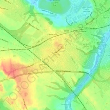
Name: Hartford topographic map, elevation, terrain.
Location: Hartford, Cheshire West and Chester, England, United Kingdom (53.23126 -2.57816 53.25614 -2.52300)
Average elevation: 40 m
Minimum elevation: 12 m
Maximum elevation: 69 m
Thank you for supporting this site ❤️
Make a donation
Make a donation