
Thank you for supporting this site ❤️
Make a donation
Make a donation
Roelen topographic map
Click on the map to display elevation.
Thank you for supporting this site ❤️
Make a donation
Make a donation
About this map
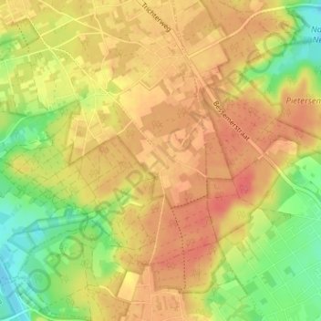
Name: Roelen topographic map, elevation, terrain.
Location: Roelen, Zutendaal, Hasselt, Limburg, 3690, België (50.88798 5.58258 50.92798 5.62258)
Average elevation: 87 m
Minimum elevation: 55 m
Maximum elevation: 108 m
Thank you for supporting this site ❤️
Make a donation
Make a donation