
将乐县 topographic map
Interactive map
Click on the map to display elevation.
About this map
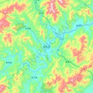
Name: 将乐县 topographic map, elevation, terrain.
Location: 将乐县, 三明市, 福建省, 中国 (26.57186 117.30639 26.89186 117.62639)
Average elevation: 496 m
Minimum elevation: 127 m
Maximum elevation: 1,423 m
Other topographic maps
Click on a map to view its topography, its elevation and its terrain.