
Dihri Garh topographic map
Interactive map
Click on the map to display elevation.
About this map
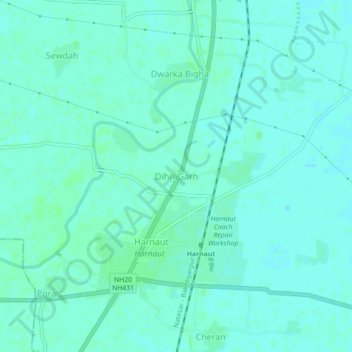
Name: Dihri Garh topographic map, elevation, terrain.
Location: Dihri Garh, Harnaut, Nalanda, Bihar, 803110, India (25.35954 85.51755 25.39954 85.55755)
Average elevation: 46 m
Minimum elevation: 43 m
Maximum elevation: 49 m
Other topographic maps
Click on a map to view its topography, its elevation and its terrain.