
Horrues topographic map
Interactive map
Click on the map to display elevation.
About this map
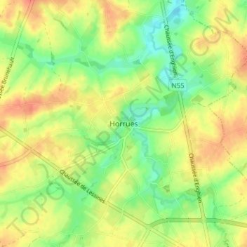
Name: Horrues topographic map, elevation, terrain.
Location: Horrues, Zinnik, Henegouwen, Wallonië, 7060, België (50.58934 4.02131 50.62934 4.06131)
Average elevation: 78 m
Minimum elevation: 54 m
Maximum elevation: 100 m