
Möckmühl topographic map
Interactive map
Click on the map to display elevation.
About this map
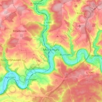
Name: Möckmühl topographic map, elevation, terrain.
Average elevation: 278 m
Minimum elevation: 165 m
Maximum elevation: 363 m
Möckmühl liegt nördlich von Heilbronn am Zusammenfluss von Seckach und Jagst in 169 bis 350 Meter Höhe.