
Forestburg topographic map
Interactive map
Click on the map to display elevation.
About this map
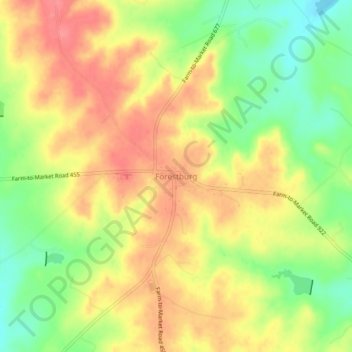
Name: Forestburg topographic map, elevation, terrain.
Location: Forestburg, Montague County, Texas, United States of America (33.51258 -97.57661 33.55258 -97.53661)
Average elevation: 335 m
Minimum elevation: 294 m
Maximum elevation: 368 m