
大沽河 topographic map
Interactive map
Click on the map to display elevation.
About this map
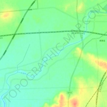
Name: 大沽河 topographic map, elevation, terrain.
Location: 大沽河, 莱西市, 青岛市, 山东省, 266600, 中国 (36.74854 120.36255 36.82035 120.46780)
Average elevation: 48 m
Minimum elevation: 33 m
Maximum elevation: 80 m
Other topographic maps
Click on a map to view its topography, its elevation and its terrain.