
Nouader topographic map
Interactive map
Click on the map to display elevation.
About this map
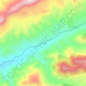
Name: Nouader topographic map, elevation, terrain.
Location: Nouader, Chir, Daïra de Teniet El Abed, Batna, 05108, Algérie (35.20689 6.11167 35.24689 6.15167)
Average elevation: 1,301 m
Minimum elevation: 1,066 m
Maximum elevation: 1,626 m