
Thank you for supporting this site ❤️
Make a donation
Make a donation
Pattaya City topographic map
Click on the map to display elevation.
Thank you for supporting this site ❤️
Make a donation
Make a donation
About this map
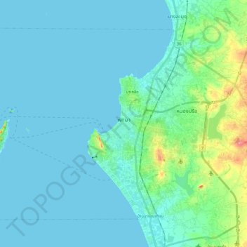
Name: Pattaya City topographic map, elevation, terrain.
Location: Pattaya City, Chon Buri Province, Thailand (12.85453 100.72507 13.01271 100.93344)
Average elevation: 16 m
Minimum elevation: 0 m
Maximum elevation: 117 m
Thank you for supporting this site ❤️
Make a donation
Make a donation