
刚察县 topographic map
Interactive map
Click on the map to display elevation.
About this map
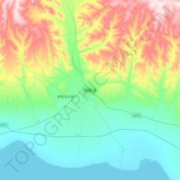
Name: 刚察县 topographic map, elevation, terrain.
Location: 刚察县, 海北藏族自治州, 青海省, 中国 (37.16672 99.98025 37.48672 100.30025)
Average elevation: 3,398 m
Minimum elevation: 3,193 m
Maximum elevation: 3,901 m
Other topographic maps
Click on a map to view its topography, its elevation and its terrain.