
来古村 topographic map
Interactive map
Click on the map to display elevation.
About this map
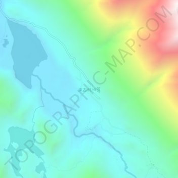
Name: 来古村 topographic map, elevation, terrain.
Location: 来古村, 昌都市, 西藏自治区, 中国 (29.26659 96.83114 29.30659 96.87114)
Average elevation: 4,336 m
Minimum elevation: 3,988 m
Maximum elevation: 5,448 m
Other topographic maps
Click on a map to view its topography, its elevation and its terrain.