
Sugarloaf topographic map
Interactive map
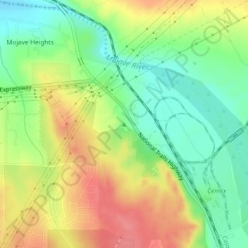
Click on the map to display elevation.
About this map
Name: Sugarloaf topographic map, elevation, terrain.
Average elevation: 844 m
Minimum elevation: 807 m
Maximum elevation: 888 m
Other topographic maps
Click on a map to view its topography, its elevation and its terrain.
Eagle Ranch
United States > California > San Bernardino County > Victorville
Eagle Ranch, Victorville, San Bernardino County, California, United States
Average elevation: 1,006 m