
Thank you for supporting this site ❤️
Make a donation
Make a donation
Weippe topographic map
Click on the map to display elevation.
Thank you for supporting this site ❤️
Make a donation
Make a donation
Weippe
Weippe is located at 46°22′42″N 115°56′23″W / 46.37833°N 115.93972°W / 46.37833; -115.93972 (46.378219, -115.939825), at an elevation of 3,015 feet (919 m) above sea level.
Thank you for supporting this site ❤️
Make a donation
Make a donation
About this map
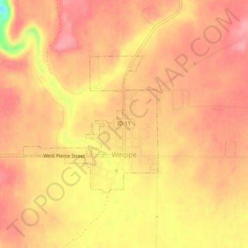
Name: Weippe topographic map, elevation, terrain.
Location: Weippe, Clearwater County, Idaho, 83553, United States (46.37189 -115.95410 46.38672 -115.93283)
Average elevation: 926 m
Minimum elevation: 848 m
Maximum elevation: 955 m
Thank you for supporting this site ❤️
Make a donation
Make a donation
Other topographic maps
Click on a map to view its topography, its elevation and its terrain.