
Sungai Buaya topographic map
Interactive map
Click on the map to display elevation.
About this map
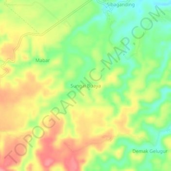
Name: Sungai Buaya topographic map, elevation, terrain.
Location: Sungai Buaya, Deli Serdang, North Sumatra, Indonesia (3.31617 98.77120 3.35617 98.81120)
Average elevation: 147 m
Minimum elevation: 101 m
Maximum elevation: 193 m