
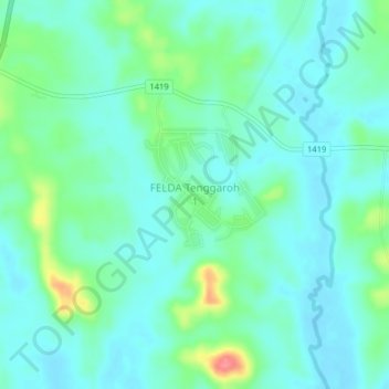
FELDA Tenggaroh 1 topographic map
Interactive map
Click on the map to display elevation.
About this map
Name: FELDA Tenggaroh 1 topographic map, elevation, terrain.
Location: FELDA Tenggaroh 1, Mersing, Johor, Malaysia (2.06186 103.86859 2.10186 103.90859)
Average elevation: 22 m
Minimum elevation: 4 m
Maximum elevation: 82 m