
Châtelineau topographic map
Interactive map
Click on the map to display elevation.
About this map
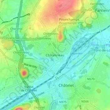
Name: Châtelineau topographic map, elevation, terrain.
Average elevation: 122 m
Minimum elevation: 92 m
Maximum elevation: 194 m
Other topographic maps
Click on a map to view its topography, its elevation and its terrain.
Bouffioulx
Belgique > Hainaut > Charleroi > Châtelet
Bouffioulx, Châtelet, Charleroi, Hainaut, Wallonie, 6200, Belgique
Average elevation: 147 m