
Lumut topographic map
Interactive map
Click on the map to display elevation.
About this map
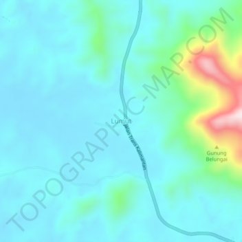
Name: Lumut topographic map, elevation, terrain.
Location: Lumut, Toba, Sanggau, West Kalimantan, Kalimantan, Indonesia (-0.19901 110.06419 -0.15901 110.10419)
Average elevation: 82 m
Minimum elevation: 13 m
Maximum elevation: 447 m
Other topographic maps
Click on a map to view its topography, its elevation and its terrain.
Kapuas
Indonesia > West Kalimantan > Sanggau
Kapuas, Sanggau, West Kalimantan, Indonesia
Average elevation: 57 m
Balai Karangan
Indonesia > West Kalimantan > Sanggau
Balai Karangan, Sekayam, Sanggau, West Kalimantan, Indonesia
Average elevation: 61 m