
Fiecht topographic map
Interactive map
Click on the map to display elevation.
About this map
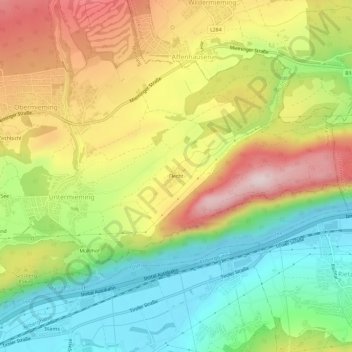
Name: Fiecht topographic map, elevation, terrain.
Location: Fiecht, Untermieming, Mieming, Bezirk Imst, 6413, Österreich (47.27857 10.98075 47.31857 11.02075)
Average elevation: 804 m
Minimum elevation: 626 m
Maximum elevation: 1,026 m