
Tin Tin topographic map
Interactive map
Click on the map to display elevation.
About this map
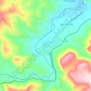
Name: Tin Tin topographic map, elevation, terrain.
Location: Tin Tin, Mizque, CBA, Bolivia (-18.04993 -65.47605 -18.00993 -65.43605)
Average elevation: 2,245 m
Minimum elevation: 2,123 m
Maximum elevation: 2,470 m