
Thank you for supporting this site ❤️
Make a donation
Make a donation
Al Jalamid topographic map
Click on the map to display elevation.
Thank you for supporting this site ❤️
Make a donation
Make a donation
About this map
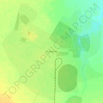
Name: Al Jalamid topographic map, elevation, terrain.
Location: Al Jalamid, Arar, Northern Borders Province, Saudi Arabia (31.46447 39.87048 31.55055 39.97683)
Average elevation: 783 m
Minimum elevation: 770 m
Maximum elevation: 793 m
Thank you for supporting this site ❤️
Make a donation
Make a donation