
Batouri topographic map
Interactive map
Click on the map to display elevation.
About this map
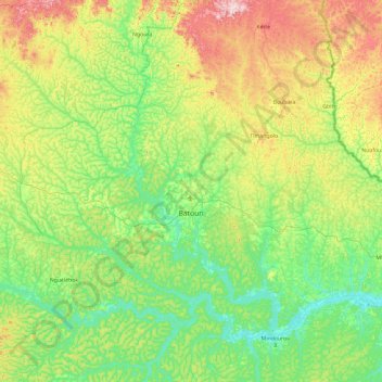
Name: Batouri topographic map, elevation, terrain.
Location: Batouri, Kadey, East, Cameroon (4.21284 13.94044 4.76743 14.88463)
Average elevation: 654 m
Minimum elevation: 571 m
Maximum elevation: 863 m