
Triherée topographic map
Interactive map
Click on the map to display elevation.
About this map
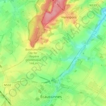
Name: Triherée topographic map, elevation, terrain.
Average elevation: 108 m
Minimum elevation: 63 m
Maximum elevation: 170 m
Other topographic maps
Click on a map to view its topography, its elevation and its terrain.
Baraque de Planches
Belgique > Hainaut > Soignies > Écaussinnes > Écaussinnes-d'Enghien
Baraque de Planches, Écaussinnes, Écaussinnes-d'Enghien, Écaussinnes, Soignies, Hainaut, Wallonie, 7190, Belgique
Average elevation: 108 m