
La Bruyère topographic map
Interactive map
Click on the map to display elevation.
About this map
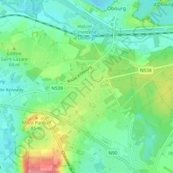
Name: La Bruyère topographic map, elevation, terrain.
Location: La Bruyère, Mons, Hainaut, Wallonie, 7030, Belgique (50.43790 3.97540 50.47790 4.01540)
Average elevation: 52 m
Minimum elevation: 29 m
Maximum elevation: 106 m