
廊坊市 topographic map
Interactive map
Click on the map to display elevation.
About this map
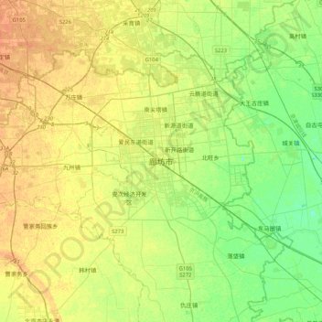
Name: 廊坊市 topographic map, elevation, terrain.
Location: 廊坊市, 广阳区, 廊坊市, 中国 (39.35283 116.53974 39.67283 116.85974)
Average elevation: 16 m
Minimum elevation: 2 m
Maximum elevation: 30 m