
Sangatta topographic map
Interactive map
Click on the map to display elevation.
About this map
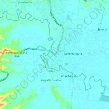
Name: Sangatta topographic map, elevation, terrain.
Location: Sangatta, East Kalimantan, Indonesia (0.45523 117.49002 0.53523 117.57002)
Average elevation: 8 m
Minimum elevation: 0 m
Maximum elevation: 68 m