
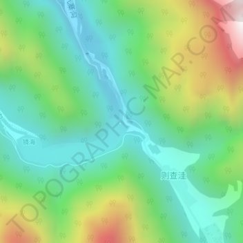
诺日朗瀑布 topographic map
Interactive map
Click on the map to display elevation.
About this map
Name: 诺日朗瀑布 topographic map, elevation, terrain.
Location: 诺日朗瀑布, 则查洼, 九寨沟县, 阿坝藏族羌族自治州, 四川省, 中国 (33.16528 103.90448 33.16538 103.90458)
Average elevation: 2,634 m
Minimum elevation: 2,305 m
Maximum elevation: 3,345 m