
Thank you for supporting this site ❤️
Make a donation
Make a donation
Braga (São Vicente) topographic map
Click on the map to display elevation.
Thank you for supporting this site ❤️
Make a donation
Make a donation
About this map
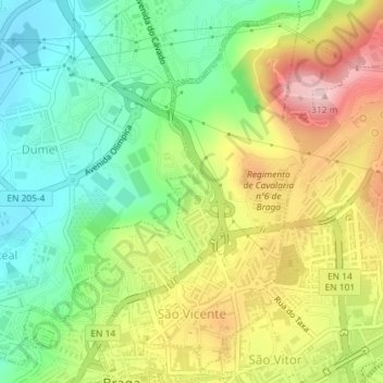
Name: Braga (São Vicente) topographic map, elevation, terrain.
Location: Braga (São Vicente), Real, Braga, Portugal (41.55205 -8.43243 41.57703 -8.41080)
Average elevation: 161 m
Minimum elevation: 59 m
Maximum elevation: 302 m
Thank you for supporting this site ❤️
Make a donation
Make a donation