
Las Alcubillas topographic map
Interactive map
Click on the map to display elevation.
About this map
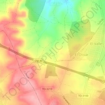
Name: Las Alcubillas topographic map, elevation, terrain.
Location: Las Alcubillas, Toledo, Castilla-La Mancha, 45111, España (39.81064 -4.04513 39.83064 -4.02513)
Average elevation: 660 m
Minimum elevation: 585 m
Maximum elevation: 710 m
Other topographic maps
Click on a map to view its topography, its elevation and its terrain.
Toledo
España > Castilla-La Mancha > Toledo > Toledo
Toledo, Castilla-La Mancha, 45002, España
Average elevation: 590 m