
Crowthorne topographic map
Click on the map to display elevation.
About this map
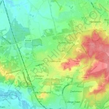
Name: Crowthorne topographic map, elevation, terrain.
Location: Crowthorne, Bracknell Forest, England, United Kingdom (51.35798 -0.81973 51.39086 -0.72733)
Average elevation: 82 m
Minimum elevation: 49 m
Maximum elevation: 135 m