
Thank you for supporting this site ❤️
Make a donation
Make a donation
Otterville topographic map
Click on the map to display elevation.
Thank you for supporting this site ❤️
Make a donation
Make a donation
About this map
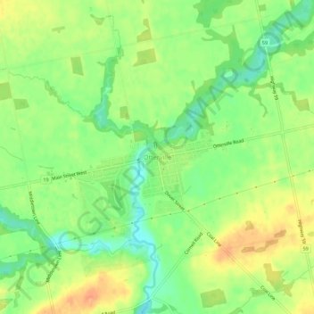
Name: Otterville topographic map, elevation, terrain.
Location: Otterville, Norwich, Oxford County, Ontario, N0J 1R0, Canada (42.90649 -80.62342 42.94649 -80.58342)
Average elevation: 248 m
Minimum elevation: 226 m
Maximum elevation: 269 m
Thank you for supporting this site ❤️
Make a donation
Make a donation