
Jordan Creek topographic map
Interactive map
Click on the map to display elevation.
About this map
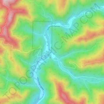
Name: Jordan Creek topographic map, elevation, terrain.
Location: Jordan Creek, Tillamook County, Oregon, United States (45.52844 -123.62179 45.56844 -123.58179)
Average elevation: 291 m
Minimum elevation: 90 m
Maximum elevation: 616 m