
Mayflower topographic map
Interactive map
Click on the map to display elevation.
About this map
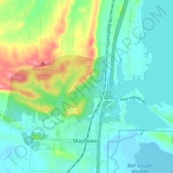
Name: Mayflower topographic map, elevation, terrain.
Location: Mayflower, Faulkner County, Arkansas, United States (34.94606 -92.45055 35.00414 -92.39988)
Average elevation: 105 m
Minimum elevation: 75 m
Maximum elevation: 195 m