
Jordan topographic map
Interactive map
Click on the map to display elevation.
About this map
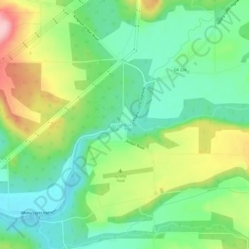
Name: Jordan topographic map, elevation, terrain.
Location: Jordan, Linn County, Oregon, United States (44.70703 -122.71904 44.74703 -122.67904)
Average elevation: 200 m
Minimum elevation: 136 m
Maximum elevation: 316 m