
Lakeville topographic map
Interactive map
Click on the map to display elevation.
About this map
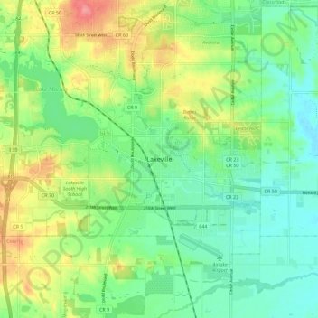
Name: Lakeville topographic map, elevation, terrain.
Location: Lakeville, Dakota County, Minnesota, 55044, United States (44.61005 -93.28328 44.69005 -93.20328)
Average elevation: 306 m
Minimum elevation: 277 m
Maximum elevation: 358 m