
Gdyel topographic map
Interactive map
Click on the map to display elevation.
About this map
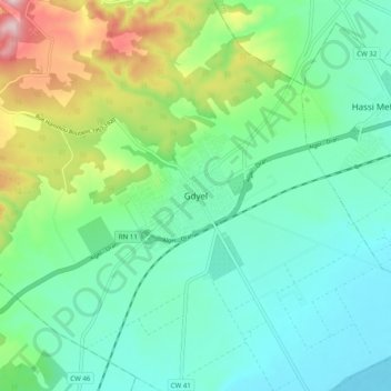
Name: Gdyel topographic map, elevation, terrain.
Location: Gdyel, Daïra Gdyel, Oran, 31260, Algérie (35.74249 -0.46420 35.82249 -0.38420)
Average elevation: 176 m
Minimum elevation: 79 m
Maximum elevation: 449 m