
Dandridge topographic map
Interactive map
Click on the map to display elevation.
About this map
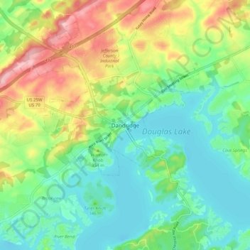
Name: Dandridge topographic map, elevation, terrain.
Location: Dandridge, Jefferson County, Tennessee, 37725, United States (35.97537 -83.45489 36.05537 -83.37489)
Average elevation: 341 m
Minimum elevation: 288 m
Maximum elevation: 442 m
Other topographic maps
Click on a map to view its topography, its elevation and its terrain.
Douglas Lake
United States > Tennessee > Jefferson County > Dandridge
Douglas Lake, Dandridge, Jefferson County, East Tennessee, Tennessee, United States
Average elevation: 370 m